


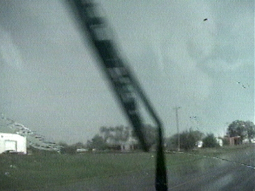
saturday, may 29, 2004
tornadic hp supercell viewed from south of norway ks


norway damage


classic/hp hybrid structure and tornado in belleville ks


radar

![]()
![]()
chase log:
| may 29 was likened by many to april 26, 1991; the set-up was strikingly similar, though assumedly with less favorable thermo and kinematic conditions. i had to work until 3:00pm, and thus had to play the corridor nearest me: northcentral kansas and southeast nebraska. unfortunately, the only good storm in this area went up quite early in advance of the surface low, and was slow moving and quick-to-go hp. i missed a few tornadoes due to my late start, including a climactic multi-vortex formation that began just as i was getting into position on gravel roads south of norway. by 6:13pm, an amazing hp updraft was in clear view with the large tornado wrapped in rain five miles to my west. i observed numerous short-lived funnels on the periphery of the mesocyclone over the next 90 minutes, two of which produced debris swirls. getting back to and then out of the town of norway was a challenge due to widespread and significant damage. i re-intercepted the storm southwest of belleville. structure was hard to ascertain, as the hp circulation was heading off to the northeast while a more classic updraft seemed to be evolving behind it. this western structure developed appreciable inflow, and a strong rfd occlusion occurred just west of the city of belleville. cloud fingers seemingly grazed the horizon a few times, but it was impossible to tell if this was a tornadic circulation. then, as i drove east into town, inflow increased dramatically to near-severe levels, and i observed a funnel cloud a few miles to my northeast. suddenly, much nearer me (half a block east), shingles from the roof of the dairy queen went whirling into the air. then almost instantaneously, the condensation-free tornado shifted north across highway 36, causing quite a powerflash. time lapse of video reveals cloud motions were clearly anticyclonic, and the tornado probably was as well. |